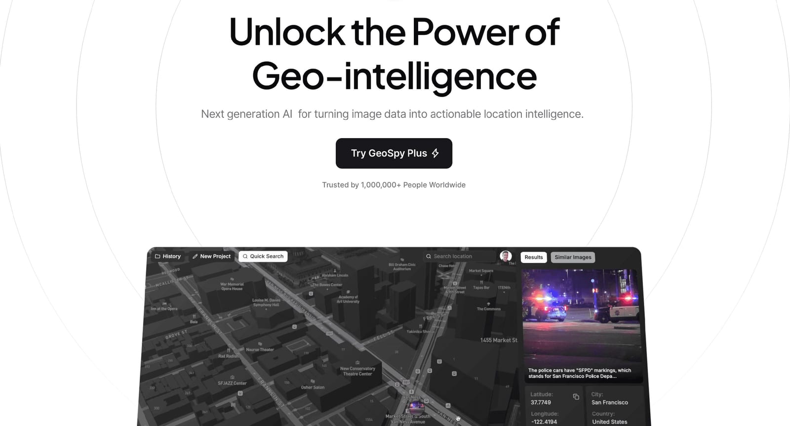
Graylark Technologies, Inc. built GeoSpy on a single technical premise: a photograph already contains enough visual evidence — architecture, signage, vegetation, road furniture, terrain — for a computer vision model to estimate the capture location. The GeoSpy privacy policy states that geolocation predictions are made exclusively through analysis of the image pixels themselves, and that any metadata uploaded with an image is stored and handed back to the user as reference information rather than used to influence the result.
The audience for GeoSpy is stated plainly on the geospy.ai homepage: enterprise and law enforcement. Graylark describes GeoSpy as available for qualified government and enterprise organizations, with licensing and information available upon request, so GeoSpy is not a consumer photo-lookup site that anyone can self-serve into. Access to GeoSpy begins when a user or company submits one or more email addresses, after which Graylark reviews the request and, if approved, adds the users to a tenant that represents a customer or a specific team; one organization can hold multiple GeoSpy tenants.
In daily use, a GeoSpy analyst uploads a low-context still — a screenshot from a video, a social post, an image with no EXIF at all — and GeoSpy returns a location estimate produced by models trained on large collections of geotagged imagery. Graylark markets three capability lanes inside GeoSpy: geo-estimation for narrowing a broad region, precision targeting for tighter coordinates, and property targeting for pinpointing a specific structure. Graylark's own wording is that GeoSpy delivers "up to meter level accuracy, state of the art computer vision models all in an easy to use interface", which readers should treat as a vendor performance claim rather than an audited benchmark.
GeoSpy is not limited to one surface. The GeoSpy terms of service confirm that GeoSpy may be accessed through a web interface, a mobile application, or programmatically through the GeoSpy API, and that the same terms govern every access method. Graylark also promotes a companion product called Raven from the GeoSpy homepage, and the GeoSpy blog publishes positioning material such as the January 12, 2026 article comparing large geolocation models with large language models.
Pricing is the weakest part of the public GeoSpy story. Graylark publishes no pricing page for GeoSpy, so plan names, seat counts and per-search rates are invisible before a sales conversation. The GeoSpy terms of service do establish the commercial shape: GeoSpy is described as a paid AI-powered geolocation service, access may begin with a trial period subject to prior review and approval, and continued use after the trial requires payment at rates detailed during the subscription process. The GeoSpy homepage simultaneously shows "Try Demo" and "Try Geo Spy" buttons, so the free-entry marketing language and the paid-service legal language sit side by side with no published reconciliation.
Data handling deserves close reading before a GeoSpy deployment. Images uploaded to GeoSpy for quick searches are retained for a period of days before deletion, while images attached to a project or case file are retained until the user deletes the image or the case, after which a 30-day retention window runs before permanent removal. Graylark states that GeoSpy does not use uploaded images or metadata for AI training or any purpose beyond delivering the requested service, but the privacy policy also notes that immediate deletion on direct inquiry is not generally offered.
Compared with open-source geolocation research models and crowd-driven OSINT workflows, GeoSpy trades openness for packaging: a hosted interface, tenant-level user management, case files and an API, sold under review-and-approval licensing instead of open signup. Buyers who need reproducible, defensible results should note that the GeoSpy terms disclaim warranties on accuracy of results and cap aggregate liability at one hundred dollars, which places the evidentiary burden squarely on the investigating agency rather than on Graylark.
GeoSpy suits organizations that already run image-based investigations and want a fast first estimate to narrow a search area, not teams looking for a cheap consumer utility. Because GeoSpy licensing is negotiated rather than listed, procurement timelines for GeoSpy will look more like a government software purchase than a SaaS credit-card signup, and prospective buyers should budget review time for the access request, tenant setup and any additional terms provided at service enrollment.